About Us
Maxar is a leading provider of secure, precise geospatial insights.
Our secure products and services empower users to achieve mission success on Earth and in space, helping them keep nations safe, improve global navigation, protect our planet, speed up disaster response and more.
What We Do
Operating the most advanced commercial Earth observation constellation on orbit, we use the power of very high-resolution satellite imagery and AI-powered software platforms to deliver ground truth in near real-time.
Building an intelligent future
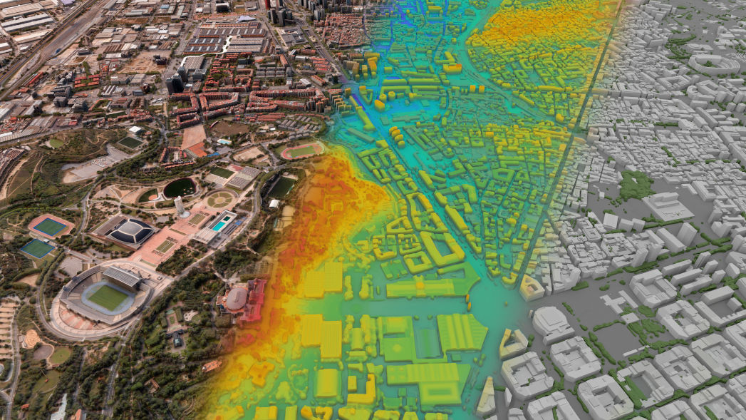
With an industry-leading Earth imaging constellation, we provide customers with secure, near real-time access to the most accurate, highest-resolution commercial satellite imagery collected by us and our partners. This data feeds into our 125-plus petabyte imagery archive, which we process into the some of the most advanced 2D and 3D geospatial content products on the planet, including basemaps and a digital twin of Earth. We're also applying deep mission expertise and AI-powered software platforms to transform petabytes of data into actionable insights and unlock the potential of a multi-sensor world.
WorldView Legion™
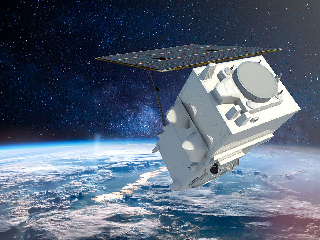
WorldView Legion is designed to meet our customers' evolving needs. WorldView Legion represents the best in space infrastructure for reliable Earth intelligence.
Our Reach
You’ve probably seen—or even used—Maxar Intelligence capabilities, even if you didn’t know where they came from.
Source: https://www.maxar.com/maxar-intelligence/about


